Menu
Home
The Survey
The Streets ▼
Cross Street
Flannel Street
Frogmore Street
High Street
Market Street
Monk Street
Nevill Street
St John’s Street
Search
Gallery
Contact
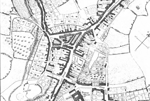
John Wood's Plan of Abergavenny 1834
Share
Related Projects
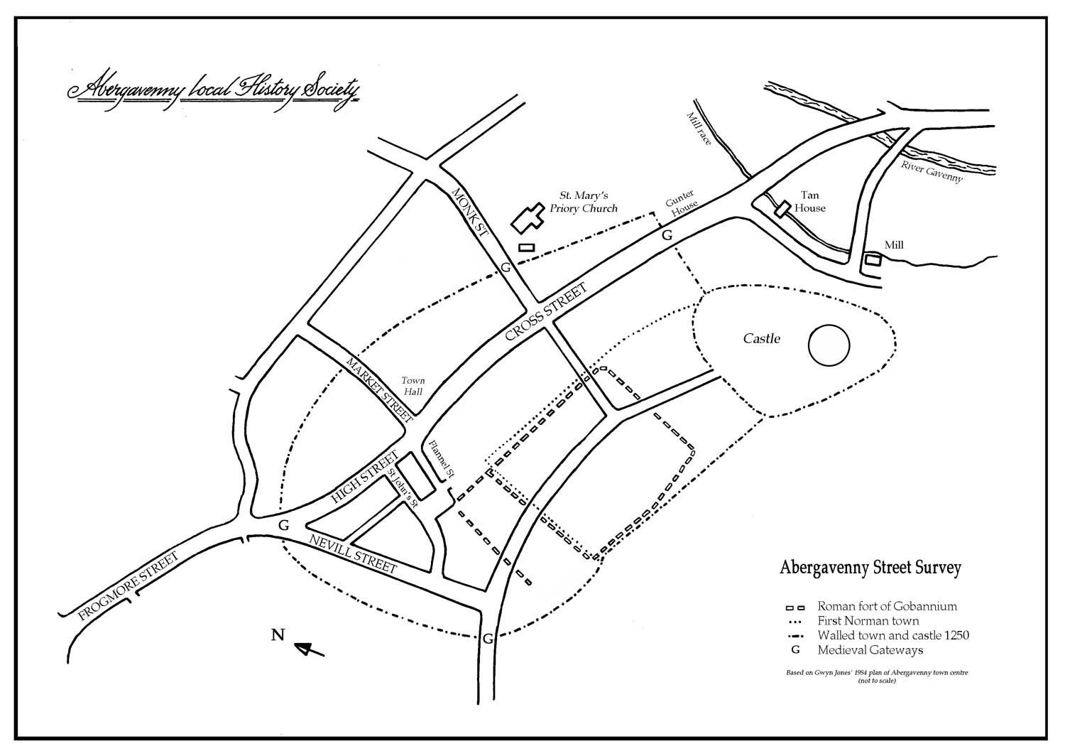
Abergavenny Map showing Town Wall
The Streets
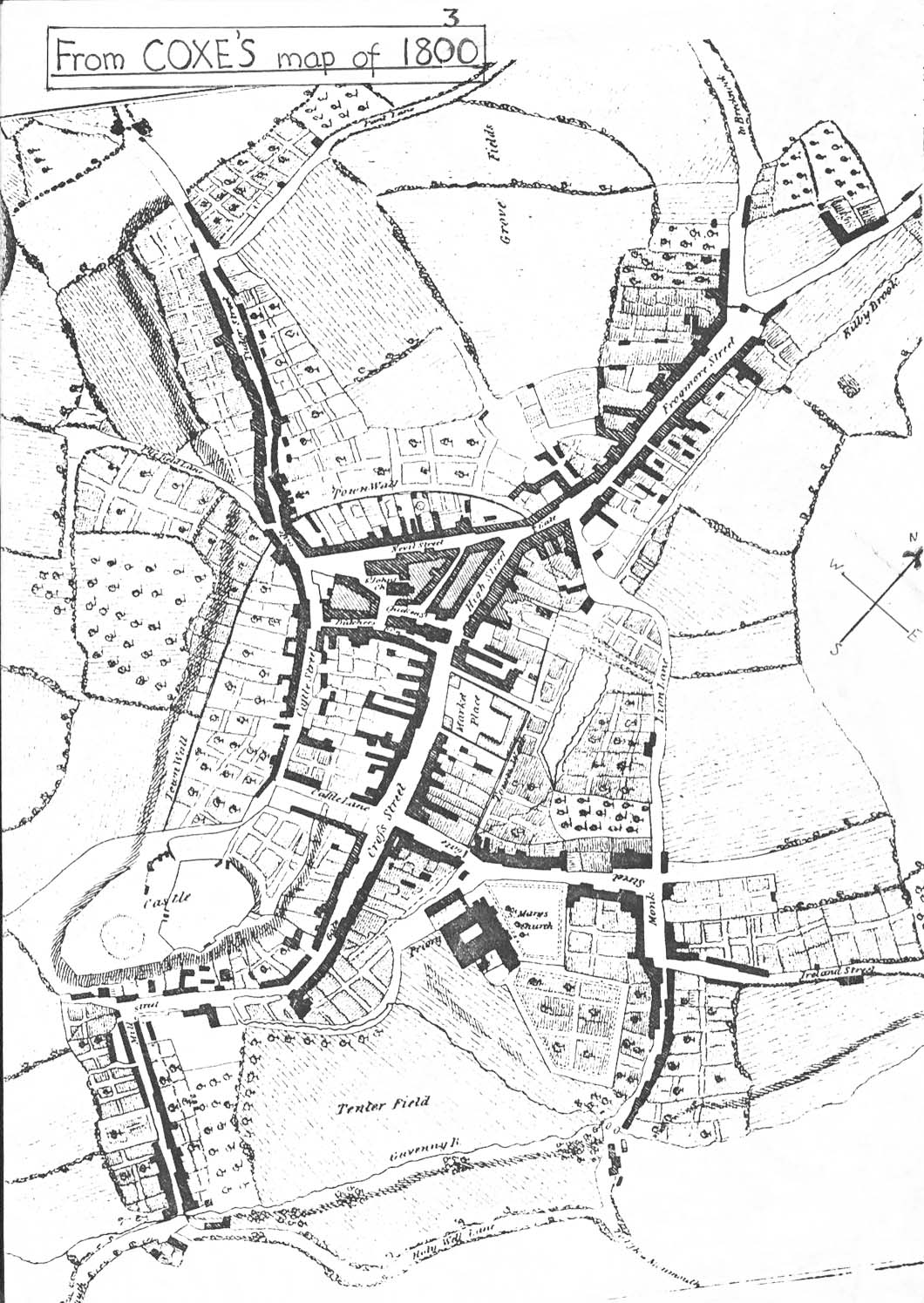
Archdeacon Coxe's Map, published 1800
The Streets
Introduction to the 1984 Street Survey
The Streets
Cross Street
Cross Street / The Streets
Flannel Street
Flannel Street / The Streets
Frogmore Street
Frogmore Street / The Streets
High Street
High Street / The Streets
Market Street
Market Street / The Streets
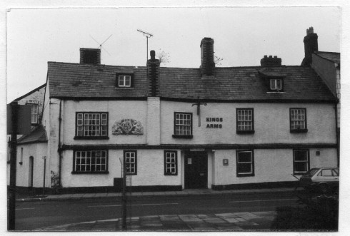
Monk Street
Monk Street / The Streets
Nevill Street and the area around St John's Church
Nevill Street / St John's Street / The Streets
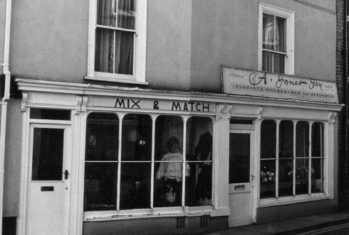
St John's Street & Square
St John's Street / The Streets