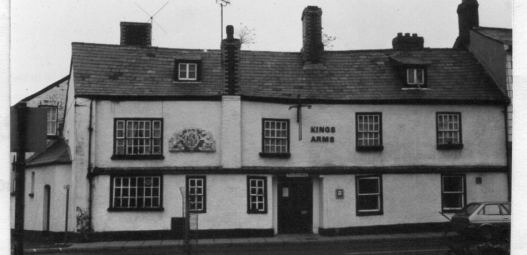
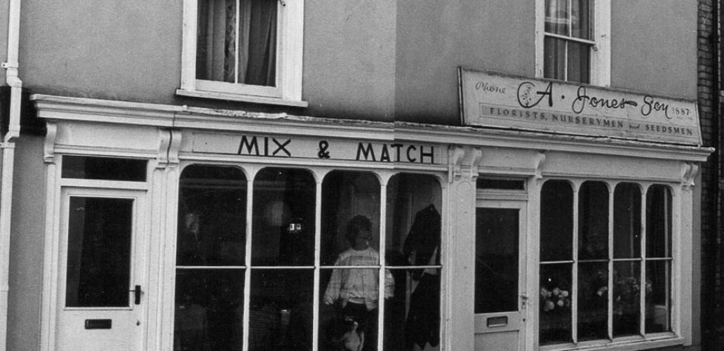
Nevill Street and the area around St John’s Church

Nevill Street and the area around St John’s Church

View Records Nevill Street began when the medieval town wall was built after the first murage grant in 1241 and the land was divided into burgage plots fronting onto the main streets of the town, i.e. Cross Street, High Street, Castle Street and Nevill Street. Sketch map based on Wood 1843, which shows the hapazard […]

Read More

St John’s Street & Square

View Records A map from 1760 shows the poultry market in St John’s Street. There is evidence to suppose that the triangular area enclosed by Nevill Street (Rother Street until the 19th century) High Street and St John’s Lane (Chicken Street on the 1834 map) was the original market of the town. It includes St […]

Read More